

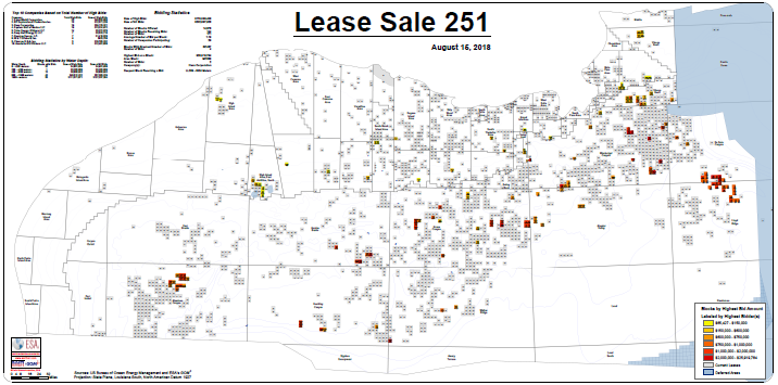
In an effort to keep our data as up-to-date as possible, a map for today's Lease Sale can be downloaded here. Please remember, these blocks have been available to include in your maps in GOMsmart and ArcGIS since 12:35PM CDT on August 15th.
Exploiting 25-year-old seismic data can seem like a pointless endeavor compared to the massive amount of modern seismic data that has been collected more recently. However, with the density of data available in the Gulf of Mexico, it's possible to apply machine learning techniques to seismic images and extract useful top of salt maps with a high level of confidence. Velocity surveys have enabled time-to-depth conversions for basin-wide calculations as well as context within 3-D scenes of ArcGIS. Details of this process have been submitted to the journal Geophysics for publication but the article can be read here: Machine-Learned Mapping of Basin-wide Salt: Old Data - New Methods.
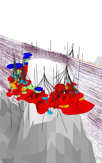
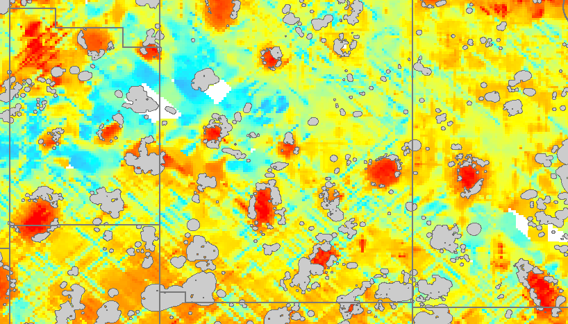 Grid of depth to top of salt (or loss of signal). Field outlines in grey. Salt boundaries found completely through ESA's machine learning process.
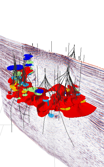
The Geophysical Add-on to GOM3 already contains a tool to convert modern 2-D seismic data and other cross-sections into GIS-ready shapes. The technology to quickly identify the top of salt is something that can be exploited in various ways at low cost with modern, high-quality seismic data. We are interested in talking about some of these ideas; contact us here.
If you are ready for the next step in ESRI's evolution of desktop software, we are looking for beta testers to try out the new toolbar ribbon in ArcGIS Pro. There are a few other files that go along with the new Add-in, but they won't interfere with existing GOM3 software. Everything in common has slowly been modified over time to work with both.
As we finish the integration of our Third Party partners' data in Pro, there are a few notes to keep in mind. First, we strongly recommend not using Pro on computers with less than 8GB of RAM; the complexity of some of the 3-D shapes makes it difficult with the minimum specs. In general the more RAM (and video RAM) the better and even 8GB of RAM can be a problem with some other memory-intesive programs running. A list of basic specs is available at ESRI's site. There are a few ESA tools that are not complete, but there are others that have been superseded by regular ArcGIS Pro tools and will not be ported to Pro, such as Export to Excel or the ESA version of Create Layer from Selected Features.
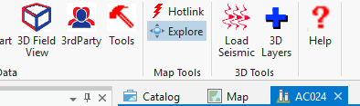 Part of the GOM3 ribbon in ArcGIS Pro.
If you are interested in beta testing the ArcGIS Pro Add-in, please contact us.