The most complete GOM data available
GOM3 is the most comprehensive source of data available, as well as the most frequently updated. Each hour we automatically scan BOEM, BSEE and related web sites (like the National Hurricane Center) and integrate all newly released data into the What’s New portion of GOM3 and its web-based component, GOMsmart. GOM3 reduces the time needed to mine data from dozens of sites – trimming hours of work to a few clicks.
GOM3 extends beyond the BOEM and BSEE data to include discovery and prospect data researched by ESA. GOM3 also directly connects to a host of data providers: OOSA, Paleo-Data, Inc., GeoMark, Earth Studies Group, UT’s Gulf Basin Depositional Synthesis project, Earthfield Technology, and Petrophysical Solutions.
Easy To Use
The GOM3 extension to ArcGIS is a menu-driven system built on more than a dozen years of experience facilitating workflows in geoscience, engineering, land, business analysis and management.
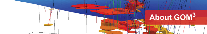
A Complete System
GIS (Geographic Information System) technology combines the functionality of database queries and analysis with answers displayed in interactive 2-D and 3-D maps. GOM3 provides seamless integration of all the historical and most current public data on the GOM.
Whether you want a map, table, report, chart or export to other packages, GOM3 provides answers in just a few clicks. Need a table of all undrilled leases in water depths between 800 and 1,200 feet? Want a presentation-quality, interactive map of all leases expiring in 2025? Map the sand reservoirs with porosity greater than 30% or all wells producing from the Middle Miocene? GOM3 is the one system that can do it all.
Data Integration
GOM3 supports integration of your proprietary or other vendor data (whether it’s on your company’s system or over the internet). Export capabilities allow you to integrate the data in GOM3 (and your analysis) into other packages you use. You can print your maps or publish them on your company’s intranet; reports, charts, well logs and diagrams are just as easy to share with colleagues or insert into presentations.
2-D and 3-D Modeling
Unique to GOM3, all of the productive sands in the Gulf, wells, completions, platforms and pipelines, seafloor and block outlines are embedded in our 3-D GIS. You can estimate and introduce 3-D surfaces based on paleo tops or pressure data, import your own surfaces or load seismic data from the Geophysical Addon. In two dimensions, beyond the highest-quality professional cartography, ArcGIS and GOM3 provide tools for spatial and geostatistical analysis.
GOMsmart – GOM3’s web-based component
Want to quickly get the logs for the A4 well in Viosca Knoll 251? Need to know the owners of the lease in South Timbalier 240 or who operates the platform on Alaminos Canyon 25? GOMsmart, GOM3’s web-based component, gives you quick access to GOM data, reports, charts, logs and basic mapping from any computer. Users don’t need to know ArcGIS. Just login to access GOM data that’s automatically updated each hour.
Tech support
Tech support has always been a focus of the ESA. Support is available by phone, email or web meeting.
GOM3 user community
The GOM3 user community is an active and vital part of the ongoing development of GOM3. An annual GOM3 User Conference is hosted by various GOM3 clients.